Schlagwort: navigation
-

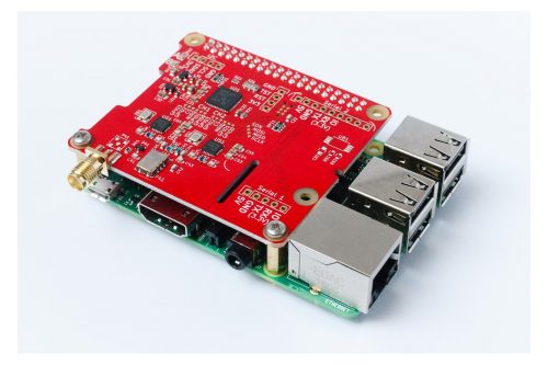
Build a Raspberry Pi chartplotter for your boat
Reading Time: < 1 minuteEarlier this year, James Conger built a chartplotter for his boat using a Raspberry Pi. Here he is with a detailed explanation of how everything works: Building your own Chartplotter with a Raspberry Pi and OpenCPN Provides an overview of the hardware and software needed to put together a home-made Chartplotter…
-

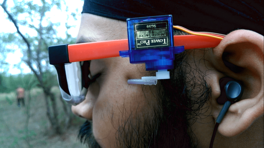
DeepWay helps the visually impaired navigate with a tap
Reading Time: 3 minutesDeepWay helps the visually impaired navigate with a tap Arduino Team — August 20th, 2018 In order to help those with visual impairments navigate streets, college student Satinder Singh has come up with an innovative solution that literally pokes the user in the right direction. Singh’s system, called DeepWay, uses a chest-mounted camera…
-

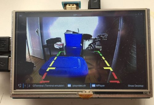
Raspberry Pi as car computer
Reading Time: 2 minutesCarputers! Fabrice Aneche is documenting his ongoing build, which equips an older (2011) car with some of the features a 2018 model might have: thus far, a reversing camera (bought off the shelf, with a modified GUI to show the date and the camera’s output built with Qt and Golang), GPS and…